| RESUME | | RESEARCH
| |
TA | | CONTACT | | LINKS | |

|
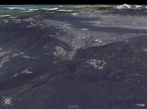
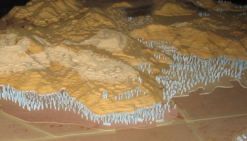
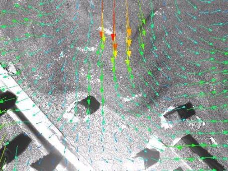
Research Wind Mapping Wind mapping is an important issue in wind engineering, wind environment and wind energy applications. Wind Environment studies are critical in areas of Complex Topographic Terrain, for which mesoscale model predictions are not practical. Experimental techniques (such as Particle Image Velocimetry- PIV), Numerical simulations (such as Computational Fluid Dynamics- CFD) and analytical modeling are the major tools being used in WindEEE group to determine wind velocity and wind energy mapping over topography.
For more information contact
me.
|
ELATED PageKits © 2002 ELATED.com/PageKits.com


